Homeward Bound from the Coast

September 18, 2020

We leave John and Richard and head to the Saltery Bay Ferry. We want to be on the Sunshine Coast for the night as we want to take the ferry over to Horseshoe Bay in the morning. We have a date to meet up with my sister and brother in law in the Okanagan again and need to be there on the 20th.

We just miss a ferry and end up waiting until the 7:05 pm ferry. Ouch. That will put us into Sechelt about 9:00. Oh well, it’s an adventure, right!

It’s pitch black and we are driving around Porpoise Bay Provincial Park Campground and there is not one available campsite. We resign ourselves to maybe staying in a motel, so leave there and drive through Sechelt. We cannot find one decent motel! And our standards are not high! Where is all the accommodation?

We drive south and stop at Roberts Creek Campground. Ah, that is the reason why Porpoise Bay is full. Roberts Creek Campground is shut down, closed, blocked off. What?

With nothing else to do we drive toward Gibsons, talking about options. Sleeping in the car – nope, ditch camping – would rather not, motel – hopefully, private campground – ok. By the time we get to Gibsons it is nearing 10:00. We drive the main street and, lo!, there is a motel office with its lights on and a woman sitting at the desk! We turn, I jump out and after a few minutes and $113, we have a room to sleep in. (This was our only motel stay in two and a half weeks of camping. We also ate our only restaurant/take out food this night as we did not have groceries to prepare some sort of supper.)

It was good to have a real shower. We threw our kayaking clothes in the bottom of the tub and they rinsed while we both showered. Boy were they dirty. Even though they will be wet for a few days, they won’t be salty and smelly.

We crash by midnight and we both find the room too hot and the bed too soft, but boy we are clean!

September 19, 2020

We are both awake by 6:00 am. The ferry is at 8:40 and the lady at the motel office suggested we get there by at least 7:30 as it is Saturday and the ferry does get busy. We just get up, pack up and take off. We are at the ferry shortly after 7:00 and are second in the line of folks without reservations. By 7:40, the terminal is packed. On a Saturday morning? Where is everyone going?

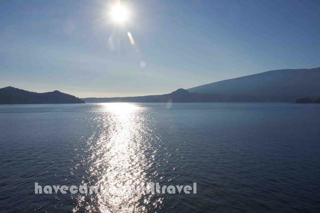
We sail across and drive from Horseshoe Bay to Chilliwack on the Saturday, not so Indy-500 this time. Everyone must still be sleeping! We go into the Chilliwack Safeway to stock up on groceries for the next 4 days. After the aloneness of the water, the grocery store is a zoo! We grab what we need and scram outta there.

We want to make is as far east as we reasonably can today. Mostly to get somewhere warm. We stop at one of the Manning Park Campgrounds for lunch. Manning Park looks like a great area, but it is higher in elevation, so we do not want to deal with the cold night and morning.

As we set up our meager lunch, an uninvited guest tries to sidle in for his share. Nonchalant like, turning his head this way and that, trying not to be too obvious. But he is. We tell him “We don’t have anything for him”, but he just won’t take our word. Murray escorts him across the road a couple of times, but he keeps coming back. The nerve! As we finish our lunch, Murray accidentally drops a couple of Cheezies. Our uninvited guest can’t wait to gobble them up and doesn’t even wait for me to move away. Lucky raven!

The Hope to Princeton drive along Hwy 3 is scenic, with a twisty, turny road and lots of up and down. There are now many kms of 4 lane highway and passing lanes so the driving is less stressful.

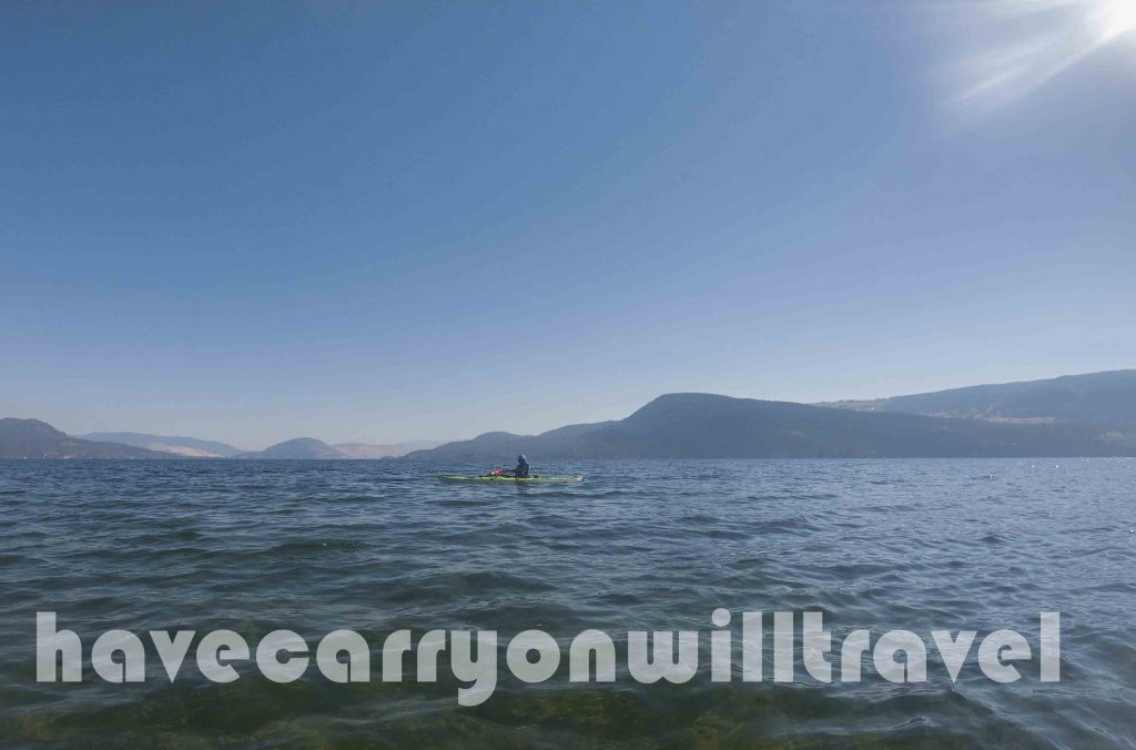
As we drive east, we talk a lot about our paddle strokes. I am eager to try my new stroke in my own kayak on Okanagan Lake. I used a rudder the whole time on the tour and also want to see if I can paddle in a straight line once again on top of using my new stroke.

After Princeton there is a campground called Stemwinder Provincial Park Campground, which is our destination. Once we get there and are looking for a site, we realize that the highway is right beside the campground and the noise, especially at night, will be bothersome. We would stay there in a crunch, but it is still only about 3:00, so we backtrack to where we saw another sign.

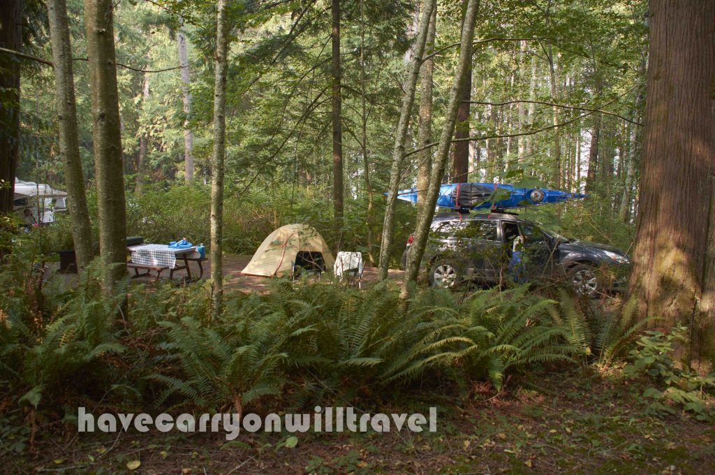
We turn onto the Old Hedley Road between Princeton and Keremeos. It is across the river from the highway so the noise is not so noticeable. There are two Recreation Areas along the road and they are pretty much empty. A recreation areas have green signs, as opposed to blue for provincial parks, are more rustic with only outhouses, no water, no garbage cans and a $15 camp fee (which was never collected!). Perfect!

Recreation Area on Old Hedley Road, Princeton, BC
Recreation Area on Old Hedley Road

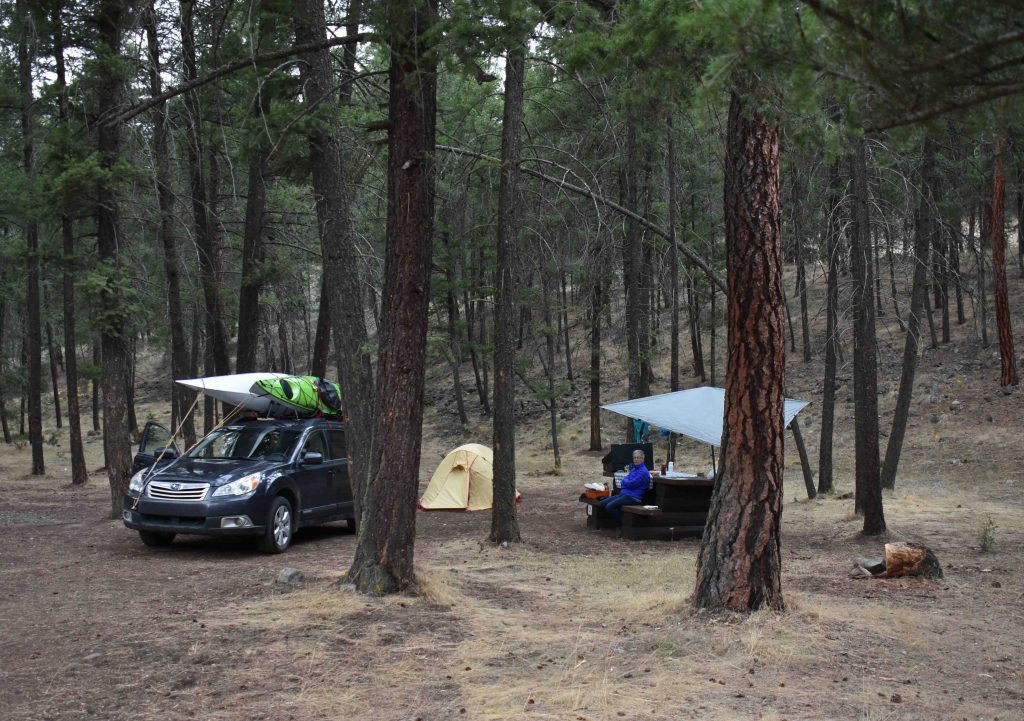
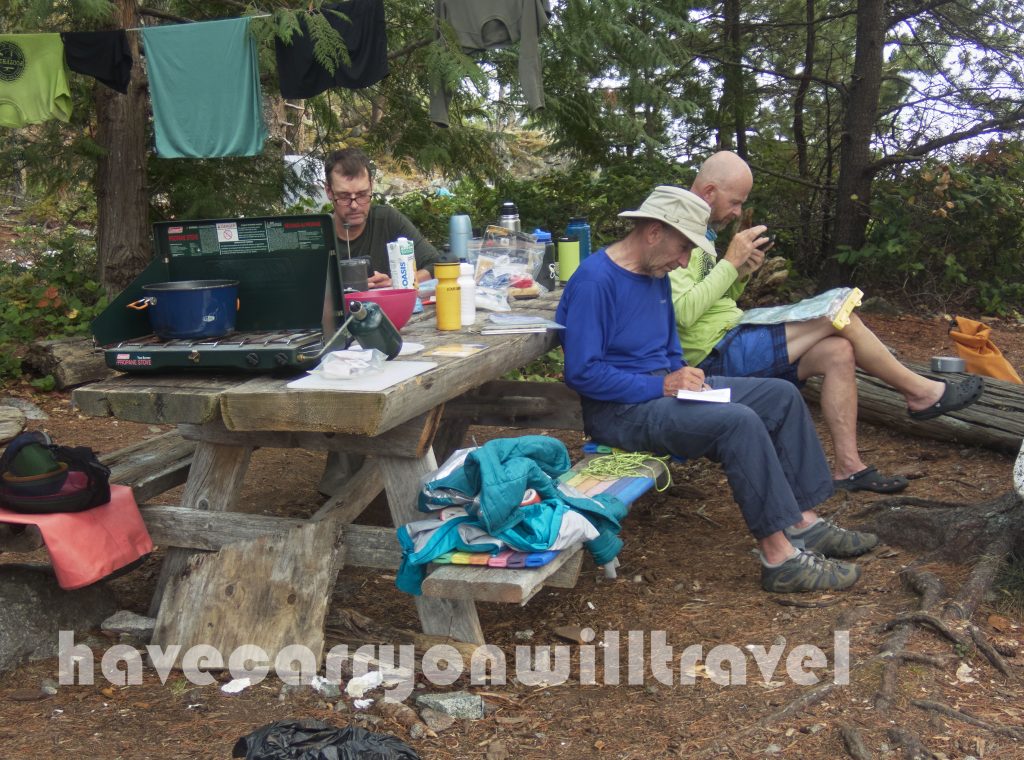
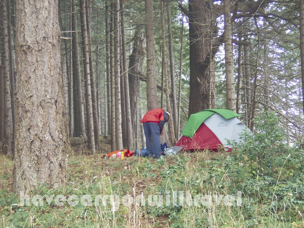
We set up our camp, hang our wet laundry on a line, make supper and then collapse. We retire when it gets dark and allow ourselves to fall asleep early.

Posted in Western Canada | Tagged , , , , , | Leave a comment

Kayak Tour – Martin Islands to Desolation Sound Resort (19 kms)

Murray gets up early today. He sits at the picnic bench and it is silent around him. No people, no animals, no lapping water on the shore, just quiet. His ears ring with the silence and it’s deafening. The darkness soon abates slightly and forms become more distinct. Trees, shoreline, tents, driftwood.

The smoke is less, but the moisture hangs heavy in the air to make the distant view obscure. Soon the sun will dispense with the fog.

Malaspina Inlet

Our first task once on the water is to paddle about 4 km across open water to a point on the east shore of the Malaspina Peninsula. Once there, it is snack and rest time, of course. We then head down the Malaspina Inlet along the coast spying out seals, sea lions (two of which follow us for quite awhile), kelp beds and kelp crabs. The crabs are bright orange and just below the surface. We pass a bald eagle perched on the shore dining on crab with a turkey vulture right behind trying to sneak up on him to get the remnants.

Malaspina Inlet
Kelp Crab

Our intrepid guides lead on towards the end of our tour. They take us by “The Aquarium” where there is a myriad of sea life under the water. We dawdle, not wanting to go too fast and have it all be over.

Malaspina Inlet
Our lunch spot

As we get deeper into the inlet, we see more civilization – cabins on the shore, boat traffic, oyster farms and the voices of other kayakers that carry across the water from the other side of the arm. We have become so used to the sounds of sea lions, whales and birds that human speech is an intrusion.

Malaspina Inlet
Malaspina Inlet

We finally see the Okeover Wharf and know that we are almost at the end of our tour. We glide into the boat launch at the Desolation Sound Resort, get high fives and set our feet back on the mainland.

Malaspina Inlet
Our final landing spot

While Murray, John and Richard go retrieve the two SUVs left in Lund, I schlepp gear up the boat launch. That is alot of gear! We unpack, organize and pack the car up. We thank our fantastic guides, John from Footprint BC and Richard from Island Romer Adventures and tell them we will be back to do Desolation Sound and Toba Inlet. We are on our way.

Malaspina Inlet
Thank you to our wonderful guides, John and Richard
Posted in Western Canada | Tagged , , , , , , | Leave a comment

Kayak Tour – Teakerne Arm to Martin Islands (16 km)

Today’s paddle takes us back out the Arm, south along the coast of West Redonda Island, past Refuge Cove to the Martin Islands. Again the water is glassy smooth. Richard just shakes his head and once again says, “I have never seen it this smooth.” I think he has been saying his every day since day 2. And each time explain the weather gods want to make it a good trip for me ensuring I come back, so they are making the ocean calm.

Teakerne Arm
Teakerne Arm

We get startled as we see a buck deer swimming across from a tiny island to West Redonda. It’s surprising to be reminded deer swim! We see more seals and a sea lion enjoying a fish lunch. Peering into the water on the island’s edge we see sea stars, anemones and cucumbers.

West Redonda Island

The zen of paddling takes over, just like road riding or climbing up a mountain when back country skiing. The mind wanders, the body just moves, and we paddle.

West Redonda Island

When we land on Martin Island, actually it is on an isthmas connecting the two islands, we are amazed we arrive early, 2:00pm. After all the longer paddles, this 16 km one feels easy, and short. The campsite is well used, as indicated by all the “decorations”. There are swings, permanent structures, sign posts, benches, a fire pit and a picnic table. We wait to see if anyone else shows up.

Martin Islands
Martin Islands Sign Post

The quiet continues. The only sounds are cawing ravens, buzzing flies and wasps, crickets and the occasional splash of water from a sea lion, seal or fish. Is there a world beyond this island? World, what world?

The sun is shining through the haze and it is spreading warmth so we lay out our mats, sleeping bags and kayaking clothes. They do dry some and it will be nice to not climb into a clammy sleeping bag tonight!

Martin Islands
Loafing

We loaf and wander and watch John and Richard float an errant tree away from the beach. Then we watch the tree float closer and farther and closer and then far enough away that it won’t block the kayak loading zone. We cheer. The world is FAR away!

The kayaks are stored above the high tide line and are tethered together and to a log, just in case.

Martin Islands
Secured Kayaks

After supper we gather around the fire pit where John has started our only fire on the tour. We stare into the depths of orange flame and before I know it, my eyes are drooping. I made it to 9:00 this time!

Posted in Western Canada | Tagged , , , , , , , | Leave a comment

Kayak Tour – Penn Islands to Teakerne Arm Provincial Park (21.5kms)

Whales in the night. BOOM! As loud and any thunder I have ever heard. We wake up and decide a whale has just breached. The sound echos off the adjacent islands. We drift off again and awake to deep breathing. There are maybe 2 or 3 whales laying very close, blowing. They aren’t moving. What a magical way to wake up in the morning. Murray finally decides to get dressed and check them out. Too late, they have moved on.

Penn Islands

Today’s paddle starts with a chore. We have to cross the channel back to the coast of Cortes and the wind and tidal current are against us. We paddle steadily and after about an hour we reach the island and turn north after a quick snack of a granola bar.

Off Cortez Island

As we round the northern point of Cortes and head into Lewis Channel, we are blessed with the current and wind now working for us. Murray, kayaking slightly ahead of the group, has a close encounter with a humpback. The whale surfaces about 15 feet in front of him. There were two and they both dove down, probably swam underneath us and were gone.

We get surprised by a sea lion and his lunch. It is explained that seals and sea lions cannot swallow under water. There is a commotion and we all look to see a sea lion’s head pop out of the water with a flopping fish in his mouth. He chomps, swallows and submerges. The birds then swoop down and pick up the head and tail of the poor fish for their lunch.

Off Cortez Island

The long views are still obscured today but the medium views have opened up. The short views are crystal clear. We paddle down the Teakerne Arm, located on West Redonda Island, where there is a freshwater waterfall flowing into the ocean. We dock and unload three kayaks on the rocks and then our guides move the kayaks up onto the dock while we schlepp gear up a steep path to a small campsite overlooking the Arm. It has been a long day today and I am tired, but there is a fresh water lake close and a dip is too much of a temptation to ignore.

Teakerne Arm Waterfall

It is about a 10 minute walk up and down over boulders to Cassel Lake. The “beach” on the lake is a giant rock with a belaying rope for entering and exiting. I bring some tea tree soap for a quick wash, which is kinda humorous as I donned my dirty clothes after. The water was refreshing and it feels good to be clean, even if only for a few minutes.

Cassel Lake
Cassel Lake

For me, this trip is all about the art of staying warm and dry. We are wet all day paddling (will have to work on that one as John stayed dry). John uses more of a low angle paddle stroke and the drips from his paddle fall onto the deck of the kayak rather than his skirt. As we paddle along he explains how to imitate his paddling style. My paddle strokes drip water onto my kayak skirt and then when I get out of the kayak, the skirt drains onto my shorts and I am wet. Murray is suffering with the same issue. Once finished paddling and schlepping for the day, I change into my camp clothes (I will write a post about clothes at the end of the trip) and warm up.

The joke after supper is now “How long will Debbie stay awake!” Today, after 21.5 kms, not long.

Teakerne Arm Provincial Park
Posted in Western Canada | Tagged , , , , , , , | Leave a comment

Kayak Tour – Marina Island to Penn Islands (19 kms)

Marina Island
A fellow traveler on Marina Island

It is low tide when we get up in the morning. A look on either side of the spit tells us the launch of the kayaks into the water is going to be a chore. John decides on the best spot to launch, which is about a hundred meters down the beach. Less treacherous green vegetation to walk over to get to the water. After breakfast, Murray and I schlepp gear down the beach while John and Richard have the heavier load of carrying the kayaks.

Marina Island
Richard and John schlepping kayaks to the water’s edge

Once everyone is on the water, we have to paddle way around the spit between the buoys, which is almost to the shore of Cortes Island. From there, we dodge the Quadra to Cortes ferry and head north hugging the coast and looking for wildlife.

Off the coast of Cortez Island

The sun is actually peaking through the smoke and clouds. It feels almost warm. It is so quiet on the water. Just the sound of my paddles. Splsh – dripdripdrip splsh – dripdripdrip is all I hear. The sound is soothing.

Off the coast of Cortez Island

The water is calm. The seals pop their heads up to check us out and if we get too close, poof, they are gone. A flock of birds, perhaps harlequin ducks, flies by in formation. They move in unison, dipping wings and zig zagging across the surface.

We turn west and paddle towards the Penn Islands where we make camp for tonight. We join a couple already camped on the northern most island. The campsite we choose is a 5 star location as we find out from the couple that we are overlooking a bit of a whale channel.

Our 5 star view from Penn Island

Whales. They are the creatures of the day. Humpbacks. We see them during the day and now, as we dine in our 5 star restaurant, two whales travel through the channel. They even stick around for a bit and treat us to more sightings. We also spied, through binoculars, two orcas swimming through another channel far off to our left. Magnificent! We don’t want it to get dark as we want to keep watching for these splendid creatures.

Humpback off Penn Island

John cooks up another great supper. He adds a can of this and that, some veggies (chopped by Richard), coconut milk and red curry paste, and voila!, supper. It tastes so good it is hard to not over eat. Lunches are very similar but we eat veggie and canned salmon or chicken or turkey salads, nuts, sugared fruit, wraps or crackers. One day it’s Greek, the next is Indian, then Italian. John always keeps us guessing as to what we will eat.

Inside our tent we notice our tent, sleeping bags, mats and clothes are getting damper and damper. We need some serious sun and some wind to dry us out. Us prairie folks with our drying wind have trouble comprehending this moist wind and damp environment, especially with no sun. Maybe tomorrow.

Penn Island

Posted in Western Canada | Tagged , , , , , , , | Leave a comment

Kayak Tour – Twin Islands to Marina Island (18 kms)

After breakfast, Richard gives me a lesson on how to paddle properly and I realize that if I do it his way, my neck doesn’t hurt unless I revert to my old shenanigans of pulling on my paddle. I concentrate all day in order to get it ingrained in my body.

Twin Islands

The water is calm today (thank goodness!). The smoke is still ticklish on the throat and the sun is a white ball through the haze. Our route today is to paddle around the south end of Cortes Island, north along the west coast of the island to the gorge and then west to Marina Island.

Twin Islands

The bright Purple and orange (Leather) sea stars are numerous, both in the water and above the tide line. We are encourage to touch them to compare the roughness of their “skin”. I never knew they could be so different, one is rough and the other is smooth.

South end of Cortez Island

Birds are everywhere on the coast. We see loons, herons, mergansers, oyster catchers and cormorants. The loons call out their eerie sad song. The cormorants are very shy and skittish and do not let us get too close before they fly away.

We spy harbour porpoises but only from afar. And, of course, there are seals.

South end of Cortez Island
Sunning on a rock

It is low tide and the south end of Cortes is rocks and boulders, a tidal flat. It goes out forever. We find a small passage to go through to avoid 2 or 3 extra kms around the end.

Just before we head to Marina Island, we paddle into the Tide Islet to check out some pictographs. There are four or five, some harder to find than others. I wonder how they were painted where they were – ropes and belay down the side of the cliff?

Pictograph in Tide Islet

Marina Island is owned by Bill Gates! He allows boaters to camp on the spit and the campground is laid out and roomy. We are getting used to the routine. Murray and I schlepp gear and food and John and Richard haul kayaks. (I think they do way more work than we do!) We set up our tent in the forest on a soft bed of needles. I never tire of looking out over the water or walking the beach looking for colourful rocks or shells.

Tent spot on Marina Island

Speaking about the beach……the outdoor bathroom is amongst the rocks and drift wood below the high tide line. Toiler paper is either bagged in a doggy poop bag or burned. This always involves a walk down the beach far enough to feel comfortable. I eventually learn how to burn toilet paper without using the whole box of matches!

Another great supper cooked by John and Richard. They are taking very good care of us. It gets dark, and I try to stay awake sitting on my log, but by 8:30 I have to retreat to the tent.

Posted in Western Canada | Tagged , , , , , , | Leave a comment

Kayak Tour – Lund to Twin Islands (19 kms)

It is departure day. We eat breakfast, pack up and are on the road for a kilometer or so to meet our guides John and Richard. But let me back up slightly.

Early in the summer Murray and I started talking about doing a kayak tour on the west coast this summer, but with the COVID pandemic we were not sure about the traveling and exposing ourselves to people we did not know. We emailed back and forth with John from Footprint BC about a six day tour to Desolation Sound starting September 13 and whether other folks had signed up and what their COVID policies were. After some thought we decided we couldn’t make a decision that far out as who knew what the world would be like in 2 months.

Then as September approached, we emailed John again and asked whether anyone had signed up and whether he would be willing to take just two of us out (at a premium price, of course). Even though he had lots of inquiries, no one had committed. So we did. And that is how Murray and I had a private kayak tour with two exceptional and experienced guides.

Back to September 13. John and Richard (from Island Romer Adventures) meet us at the Desolation Sound Resort. We ask all sorts of questions and sort out our gear and throw it into the back of John’s SUV. We are driving to the other side of the Malaspina Peninsula to Lund and will embark from there.

The smoke from the forest fires in the western US has blown into the area and so our intrepid guides have decided not to go into Desolation Sound. They think the smoke will not clear from that area very well. So we are going to circumnavigate Cortes Island instead as there is more of a chance that the smoke will clear from Georgia Straight. We are okay with this change of plan as we have never been in the area before so everything is new to us. I tell John, “You lead and we will follow!”

Loading kayaks at the Lund boat launch

It takes some time to load up the four sea kayaks with the myriad of gear and food and then we are launched. I notice right away that I cannot paddle in a straight line, which I can in my kayak. Arg! Frustration! So I relent and put my rudder down, and now I have to figure out how to use it properly. Only took half a day to finally understand how to use a rudder.

We hug the coast of the Malaspina Peninsula and sneak up through the Copeland Islands and stop for lunch on a small island. We see out first seals, lots of them! Richard explains about “shell midden” which is oyster shells in the dirt from many years ago, maybe 50 years or 100 years or more. The indigenous peoples harvested oyster shells, tossed them on the ground and then the shells aided in making the soil and are integrated into the soil. Cool!

Lund to Twin Islands

After lunch, we turn west towards Twin Islands and John has to navigate using his compass as we cannot see far enough in the smoke. The water is rough and the occasional wave slaps across the kayak. It is a tough paddle. Twin Island is just a grey blur on the horizon when it first appears. As we get nearer to the islands, the trees start to become more distinct. Nearer still and there are colours – dark green, light green and grey. Nearer still and the trees have branches and the rock has ridges and cracks. Once we are paddling close to the island, the trees become huge and we are tiny specks on the water.

We camp on the north end of Twin Islands on our very own tiny island. The landing spot is rocky but I think that is the way of things out here. There is room for our three small tents and a kitchen/eating area. We dine on nasi goreng and peanut sauce and it tastes wonderful after a hard day! Guess what, we crash early as we are tired from our paddle and have five more days to go.

Twin Islands
Kayaks stored above the high tide line on Twin Islands

Posted in Western Canada | Tagged , , , , , , | Leave a comment

On the Road to the Coast – Day 6

September 12, 2020

On the move again. It’s Saturday and we’re headed to a first come first serve campground north of Powell River called Okeover Arm Provincial Park Campground. 8:15 and we’re on the road. Boy are we getting good at this morning routine!

Ferry to Saltery Bay

An hour’s drive to Earl’s Cove. We are 4th in line for the Saltery Bay ferry. There are only 18 campsites at Okeover so we want to ensure we get a spot. As we disembark the ferry, the ferry person points at the row beside us and lets three cars go. Then the finger is aimed in our direction, 4th off the boat. With only one road for 99% of the trip is is easy for navigator Debbie to get us right to the campground. The driving is another motorcyclist’s dream and although it took a lot of concentration, Murray has fun.

We drive through Powell River and wonder what keeps the city going. Before too long we see a large paper mill on the water’s edge. Powell River has become a vibrant outdoor center with communities of kayakers, hikers, bikers, boaters.

With 400 meters to go before the campground and just down the road Mama Bear and Baby Bear lope across the road. Black bears, not too big, but very bearish.

Okeover Arm Provincial Park
Okeover Arm Provincial Park Campground

We arrive at our destination shortly after noon and half the campground is available. We choose a site, set up, reorganize our gear and double check our lists for tomorrow we are starting a 6 day kayak adventure into Desolation Sound.

The campground is very basic, not quite as fancy as our previous day’s accommodation. Out houses, no showers and an old fashioned pump for water which discharges the clearest water I have seen out of a pump.

Okeover Arm Provincial Park

The park is heavily treed with evergreens. The giant cedars reach to the sky and block out much sunlight. We see some trees have their bark stripped off. We learn later that the indigenous folks strip the bark to use for making watertight baskets. Once the bark has been stripped, the tree is designated as CMT (Culturally Modified Tree) and cannot be cut down.

Okeover Arm Provincial Park

We wander down to the boat dock and spy some kayakers coming in and also amuse ourselves by watching the jelly fish float by the pier. To kill time we walk up the road to see what’s there….not much. Back at the campsite, a teeny tiny vole, or mouse, scurries on the edge of our campsite looking for its supper. Cute guy.

Okeover Arm Provincial Park

As soon as it gets dark we, once again, retreat into the tent to read and try to stay awake. Big day tomorrow!

Posted in Western Canada | Tagged , , , , | 2 Comments

On the Road to the Coast – Day 4 and 5

September 10, 2020

It’s a travel day. We want to make it to the Sunshine Coast, so to relieve the anxiety we eat breakfast, pack up and are on the road by 8:30 again. Google Maps indicates about six hours to Sechelt so we should be able to find a campsite somewhere.

We drive the West Side Road from Fintry into Kelowna. I don’t think I have ever been on the road before. It’s windy, up and down, narrow and a motorcyclist’s dream. Maybe a nightmare for a trailer or large motorhome, but for a car it is fun. It affords some fantastic views down the Okanagan valley and across the lake. The drive is superior to Hwy 97.

Once clear of West Kelowna, it is time to make ground. Turn left at Merritt, for a second I think we have crossed the border into Germany. The speed sign said 120 kph!? Are we in Canada? There are even “variable speed” zones with digital signs that regulate speed according to traffic conditions, just like the autobahn.

Note from Debbie…..If the drive on the Coquihalla is wild, which thankfully Murray drives, then the drive from Chilliwack to Horseshoe Bay (which I drive), in Vancouver, is insane! Too much traffic going much too fast! The traffic speed signs seem to be only a suggestion.

Entering Vancouver, we are right on schedule. In North Vancouver, the traffic comes to a halt on Hwy 1. We crawl for 20 minutes only to find an arrogant cop has a motorcyclist pulled over on the freeway and has blocked the entire right lane. All this within 200 meters of an off ramp. Motorcyclist must have been doing something pretty bad.

We are at the ferry dock more or less on time, about 1:30, with no reservations. Tough to make a reservation when traveling so far and uncertain of your arrival time. We are no where near getting on the first ferry out (2:20), maybe the next one at 3:30. Nope. Finally board the 4:40 ferry and our dreams of getting a camping spot are fading. We leave the dock at 5:10, exactly 30 minutes late. Google Maps is now failing in the travel time calculations.

In our favour, we are in the first group off the ferry and hopefully ahead of other campers looking for campsites. We check out Roberts Creek Provincial Park Campground. Full. We decide to still check Porpoise Bay Provincial Park Campground, in Sechelt, but do not have high hopes. We know there are only a handful of “first come first serve” campsites, so we drive straight there. Nada. I decide to loop around the other sites and eagle eye Debbie spots an available sign on half a double site. I slam on the brakes, she jumps out with tent in arms, plunks herself down while I tour the remaining loops. We camp for two nights beside three young English fellows that have been working in Whistler for the last two years.

Porpoise Bay Provincial Park Campground

The campground has enormous cedar trees surrounding the campsites, making for great separation and total darkness once the sun goes down. There is a shower and washroom house. The campground managers are very helpful and friendly. We would visit this campground again, but will be sure to make a reservation. (Note: In this year of COVID, Albertans were not allowed to reserve campsites in BC, otherwise we would have.)

After our Indy 500 like drive, we crash early. We seem to do that often!

Porpoise Bay Provincial Park Campground

September 11, 2020

We have planned a day at Porpoise Bay to kayak in bigger water. This is our first time in the ocean to progress our kayak experience. Debbie and I started kayaking on small, mellow Alberta lakes, worked our way into rivers and up to bigger lakes like Okanagan Lake. More water and more wave action each time.

But before we paddle, we have to play the “get a campsite” game. By 10:30, we are assured by the campground staff that we can stay in our site. Some wrangling has been done and the folks who are supposed to be camping in our spot are getting another one that they actually wanted instead. It was very complicated and confusing, but we are set for the night.

Porpoise Bay Provincial Park Campground
Porpoise Bay Provincial Park

We paddle parallel to the shore, alternating using the incoming waves to progress and fighting them to move away from shore again. After reaching a far point, we decide to paddle to a small island off the beach where we had launched. It is a steady paddle against the waves and wind, but not too hard. We get close to the island, turn homeward and ride the waves into the beach. We get some practice aiming and arriving at the exact point on the beach that we want.

Porpoise Bay
Porpoise Bay

There are a few other kayakers on the bay, but the rougher waters is keeping most folks off. We eat our lunch leaning on a large drift wood tree and soaking in as much sun as the smoke will allow.

Porpoise Bay Provincial Park Campground
Porpoise Bay

It is a good day and we head back to our campsite ready to move on tomorrow.

Posted in Western Canada | Tagged , , , , , | Leave a comment

On the Road to the Coast – Day 2 and 3

September 8, 2020

We wake up in the North Thompson River Campground to mountain cold, a chilly 5 C. I’m up early and by the time I prep for breakfast, my hands are barely operable. We eat and pack up quickly and vacate the campsite by 8:30 before Debbie turns to an ice statue.

Fintry Provincial Park Campground

Three and a half hours later we arrive at Fintry Provincial Park Campground, on Okanagan Lake, to R waving her arms and guiding us in to a campsite next to theirs. BC sure has it together when it comes to provincial parks. The place is clean and organized. There are “Rangers” in attendance who do serveral laps of the grounds each day. The rules are such that the place is quiet and serene. It seems people actually follow the rules, Alberta has alot to learn.

Fintry Provincial Park Campground
Fintry Provincial Park

Fintry has flush toilet outhouses with running water sinks and shower houses in three locations. The access to the lake is easy, right from our campsites, so we unload the kayaks from the top of the car. The campground and park is situated on parkland bequeathed to the province by a former orchard and dairy farm owner. The waters edge was never cleared of trees and the old pine growth provides fantastic shaded sites.

Fintry Provincial Park Campground

The afternoon is for paddling. We ply the shoreline for a few kms and return by the same route. The water is glassy and the sun is warm.

September 9, 2020

The morning is chilly but not cold. The plan for today is a longer paddle. The wind is suppose to pick up as the day progresses, so we pack a lunch and are off early. We can see a red boat house far in the distance and D thinks it is Killeney Beach Park. We paddle (11 km round trip) to the beach for lunch. As it turns out the wind was in the morning and was calm for our return trip.

Fintry Provincial Park Campground
Okanagan Lake

The sun is shining so we opt for a quick dip in Okanagan Lake. It may be our last chance to get wet before our kayak tour.

After supper, we tote our lawn chairs down to the water’s edge and watch the sky turn orange as the sun sets. Tomorrow is a long drive, so we crash early.

Fintry Provincial Park Campground
Okanagan Lake
Posted in Western Canada | Tagged , , | Leave a comment